3:00 PM | Isolated-to-scattered strong thunderstorms firing up
Paul Dorian
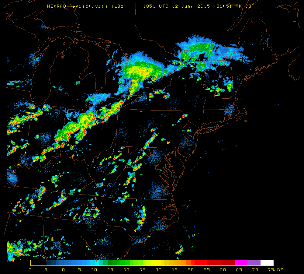 [Latest NEXRAD radar image; courtesy University of Wisconsin]
Discussion
Strong thunderstorms have fired up in higher elevation regions from central Pennsylvania to eastern West Virginia and the environment is unstable enough around here for some of the strong storms to make it to the immediate I-95 corridor during the next few hours (4-9pm). Temperatures have soared into the 90’s across the region and humidity levels are quite high at uncomfortable levels. The combination of the heat and humidity along with some upper-level energy will support some of this storm activity as it treks eastward during the latter part of the afternoon and early evening hours. While the storms will be only isolated-to-scattered in terms of areal coverage, any area that does get hit could experience strong wind gusts, hail and brief downpours.