
11:35 AM | ***First winter storm of the season with some accumulations on the table for the big city metro regions***
Paul Dorian
12Z NAM surface forecast maps from 7PM Wednesday evening (hour 36) to 7AM Friday morning (hour 72) [blue=snow, purple, pink=ice, green, yellow=rain]; courtesy NOAA/EMC, tropicaltidbits.com
Overview
In what promises to be a cold and snowy winter with a quick start (“2018-2019 Winter Outlook”), the first winter storm of the season for the Mid-Atlantic region and Northeast US is looking increasingly likely for Thursday/Thursday night as low pressure intensifies along the east coast. This coastal storm may end up impacting the region for an extended period of time from early Thursday into Friday as it takes on a “double-barrel” type of structure near the Mid-Atlantic coastline. Accumulations of snow and ice are quite possible from this early season winter storm – even into the metro regions of DC, Philly and NYC - and significant amounts are likely across interior higher elevation locations of the Mid-Atlantic and Northeast US.

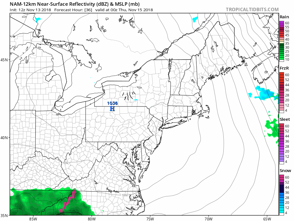
12Z NAM forecast map for Thursday 7AM with cold high pressure situated over New England and precipitation on the doorstep of the DC metro region; courtesy NOAA/EMC, tropicaltidbits.com
Details
A classic setup for accumulating snow in the I-95 corridor usually includes strong high pressure located to the north of here over New England or southeastern Canada along with intensifying low pressure near or just off the Mid-Atlantic coastline - that general pattern appears to be unfolding for Thursday/Thursday night. A cold air mass will flow into the Mid-Atlantic region over the next 24 hours on the heels of the latest low pressure system to impact the region. This cold air mass will be well entrenched in the region on Thursday morning and reluctant to retreat to the north as it’ll be “anchored” by strong high pressure sitting over northern New England. As a result, moisture that arrives from the south early on Thursday has an excellent chance of being frozen and falling either as snow or ice in the I-95 corridor metro regions. In fact, there is an increasing chance of accumulations of snow and ice in the metro regions at the onset of this unfolding major coastal storm with the highest probability in the northern and western suburbs of DC, Philly and NYC. Later in the day on Thursday, any frozen precipitation that is falling is likely to changeover to plain rain in the immediate DC-to-Philly-to-NYC corridor, but not before accumulations have occurred – perhaps on the order of a few inches in some spots.

Vigorous upper-level energy on Friday morning as depicted by the 12Z NAM will aid in the formation of a strong coastal low; courtesy NOAA/EMC, tropicaltidbits.com
In kind of an unusual twist to this unfolding late week storm system, it appears it may take on a “double-barrel” structure during Thursday night and Friday as an initial low pressure off the Mid-Atlantic coastline gives way to a new low pressure system right near the coast. This late stage of the coastal storm could feature some cold air wrapping back around on Friday morning - perhaps with rain mixing with or changing back to snow just to the north and west of I-95 corridor region before the precipitation comes to an end.
The coastal storm will then push away to our northeast later Friday and a clearing trend will develop by the weekend. Another cold air mass will drop southeastward on Saturday and cross the Great Lakes and then reach the Mid-Atlantic region for the Sunday/Monday time period. Looking ahead, what appeared earlier to be a potential warm up for Thanksgiving week is now looking less likely - more on that change later in the week.
Meteorologist Paul Dorian
Perspecta, Inc.
perspectaweather.com
Video discussion: